Howard County Zoning Regulations
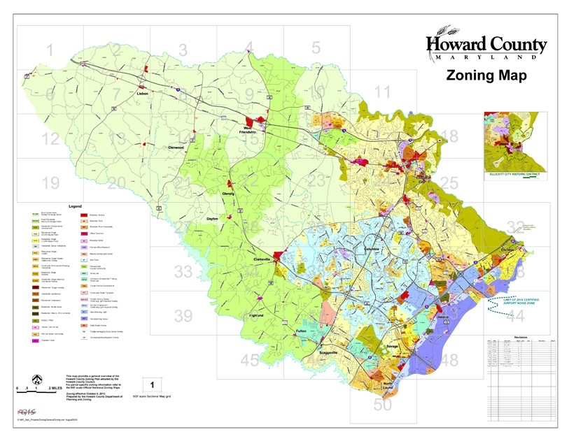
The Howard County Charter and Code empower the County Council to adopt maps dividing the County into various zoning districts, each of which has certain regulations that govern the development and use of land within the district. The most recent Zoning Regulations were adopted on October 6, 2013 and set forth the uses that are permitted, not permitted or conditioned in each zoning district. Together, the Zoning Maps and Zoning Regulations serve to guide the proper growth and development of the County in accordance with the goals and policies of the General Plan.
Amendments to Zoning Maps/Zoning Regulations
- Petitions to amend the Zoning Regulations are filed with the County Council. Planning and Zoning provides a technical staff analysis, which is then forwarded with a recommendation to the Planning Board and County Council. Additional information regarding Zoning Text and Map Amendments, including a listing of approved and proposed amendments can be found on the County Council's zoning webpage.
- Petitions to amend a Zoning Map are filed with the Department of Planning and Zoning in accordance with the Zoning Map Amendment Process.
- A Presubmission Community Meeting is required prior to filing a Zoning Map Amendment Request.
Interactive Zoning Map
The various zoning district boundaries adopted by the County Council are shown on the official Zoning Maps, a set of sectional maps maintained by the Department of Planning and Zoning. These official Zoning Maps can be viewed online through the Interactive Zoning Map, at the DPZ offices, and prints of these maps can be purchased.
Zoning Regulations Historic Archive
The electronic copies below are for reference only:
- 2004 Zoning Regulations
- 1993 Zoning Regulations
- 1985 Zoning Regulations
- 1977 Zoning Regulations
- 1961 Zoning Regulations
- 1954 Zoning Regulations
- 1948 Zoning Regulations